Lidar survey
“In the world of advanced surveying and geospatial data collection, Hawks Eye emerges as a frontrunner in leveraging the transformative capabilities of Lidar technology. With a focus on precision, innovation, and comprehensive solutions, Hawks Eye is revolutionizing industries that depend on precise spatial data.
Lidar, which uses laser pulses for distance measurement and creating detailed 3D maps, has transformed traditional surveying practices. Hawks Eye, equipped with a skilled team and cutting-edge technology, leads the way in Lidar surveying across various sectors, including land development and disaster response.
As a pioneer in Lidar surveying, they ensure that every project upholds the highest standards of quality and accuracy. Their commitment to excellence is fostering innovation and progress, paving the way for a brighter and more accurate future in geospatial data. With Hawks Eye, precision is not just a promise—it’s a guarantee, establishing them as a symbol of excellence in the rapidly evolving field of Lidar survey.”
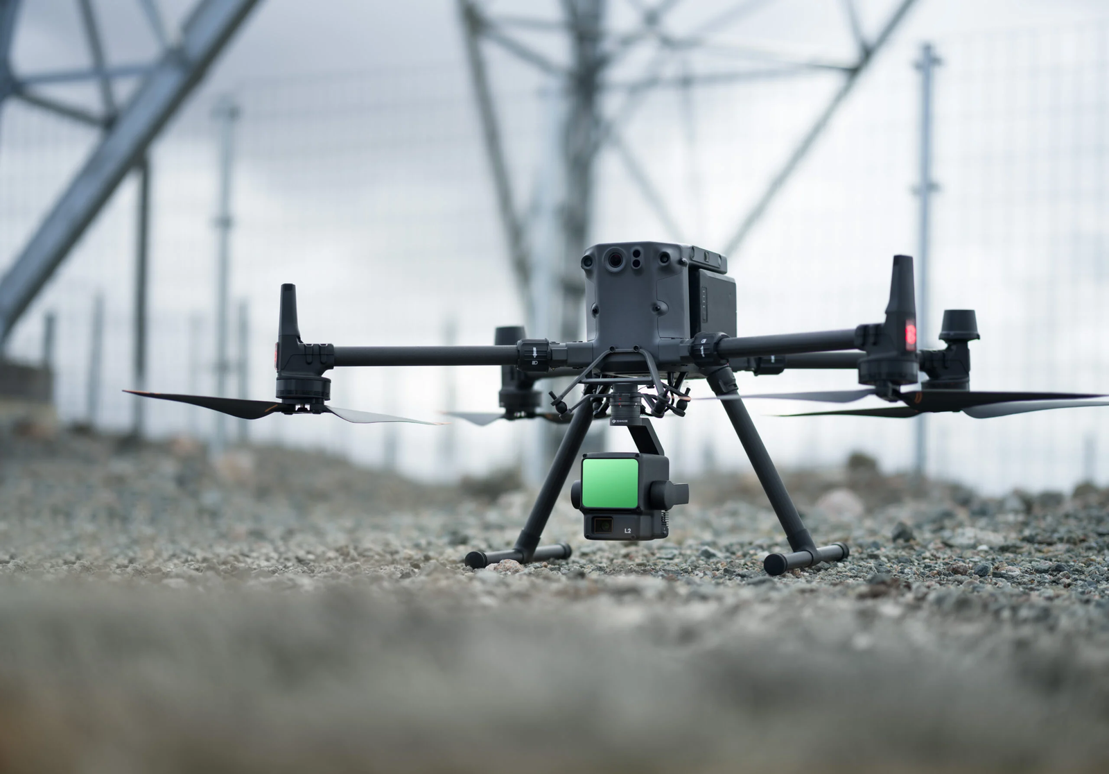
Drones, or Unmanned Aerial Vehicles (UAVs), are being increasingly integrated with Light Detection and Ranging (LiDAR) technology for diverse surveying and mapping purposes. This pairing provides numerous benefits compared to conventional surveying techniques, including enhanced efficiency, precision, and safety. Below are some of the primary applications of drones in LiDAR surveys:
- Topographic Surveying
- Forestry and Agricultural Analysis
- Infrastructure Monitoring
- Mining and Quarry Operations
- Flood Risk Modeling and Control
- Natural Disaster Evaluation